Your trails want to be mapped
Let Kinesava Geographics make them happy
Custom Cartography since 1991
We have designed custom quality maps for a wide variety of clients, including some of the very first maps on the Internet. In recent years, we have focused on maps for outdoor recreation, including handheld paper maps, decorative wall maps, trailhead kiosks, interactive web maps, and GIS-based collaborative trail planning and design.

What We Do
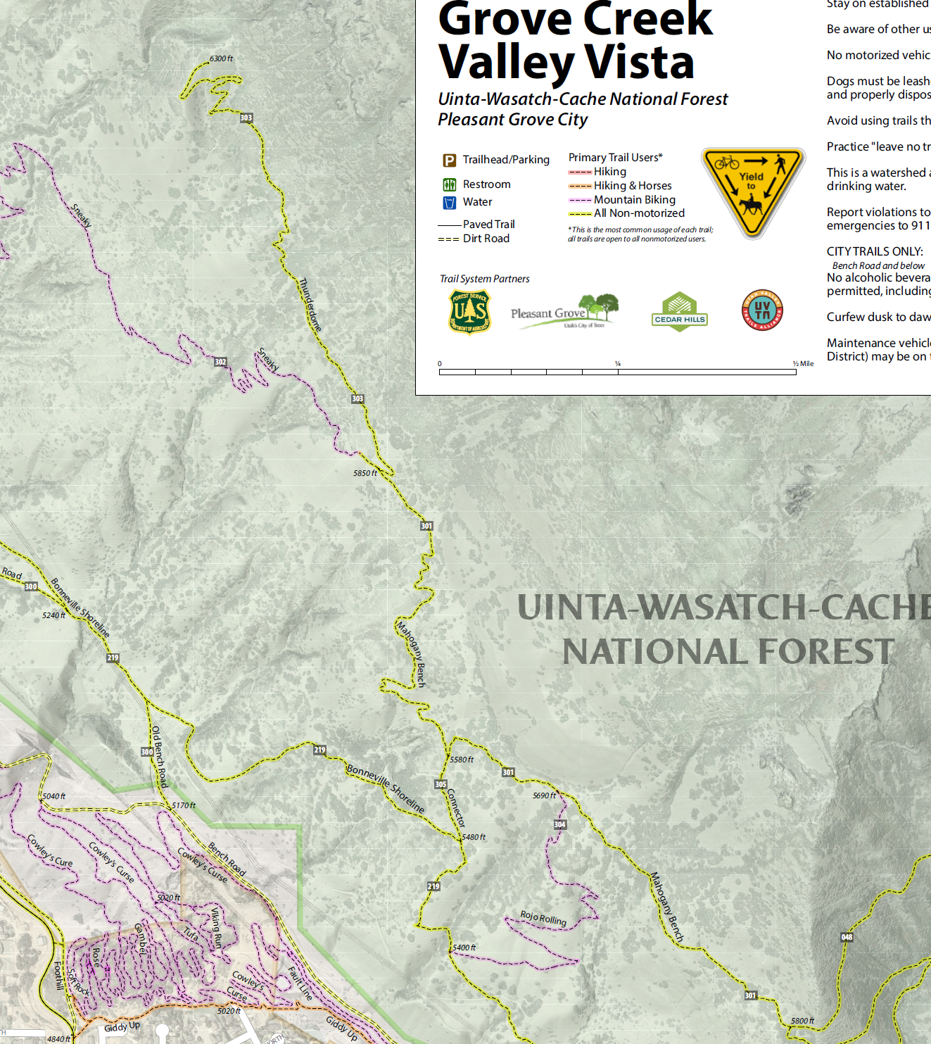
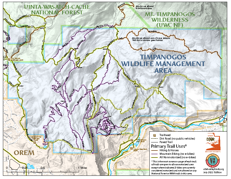
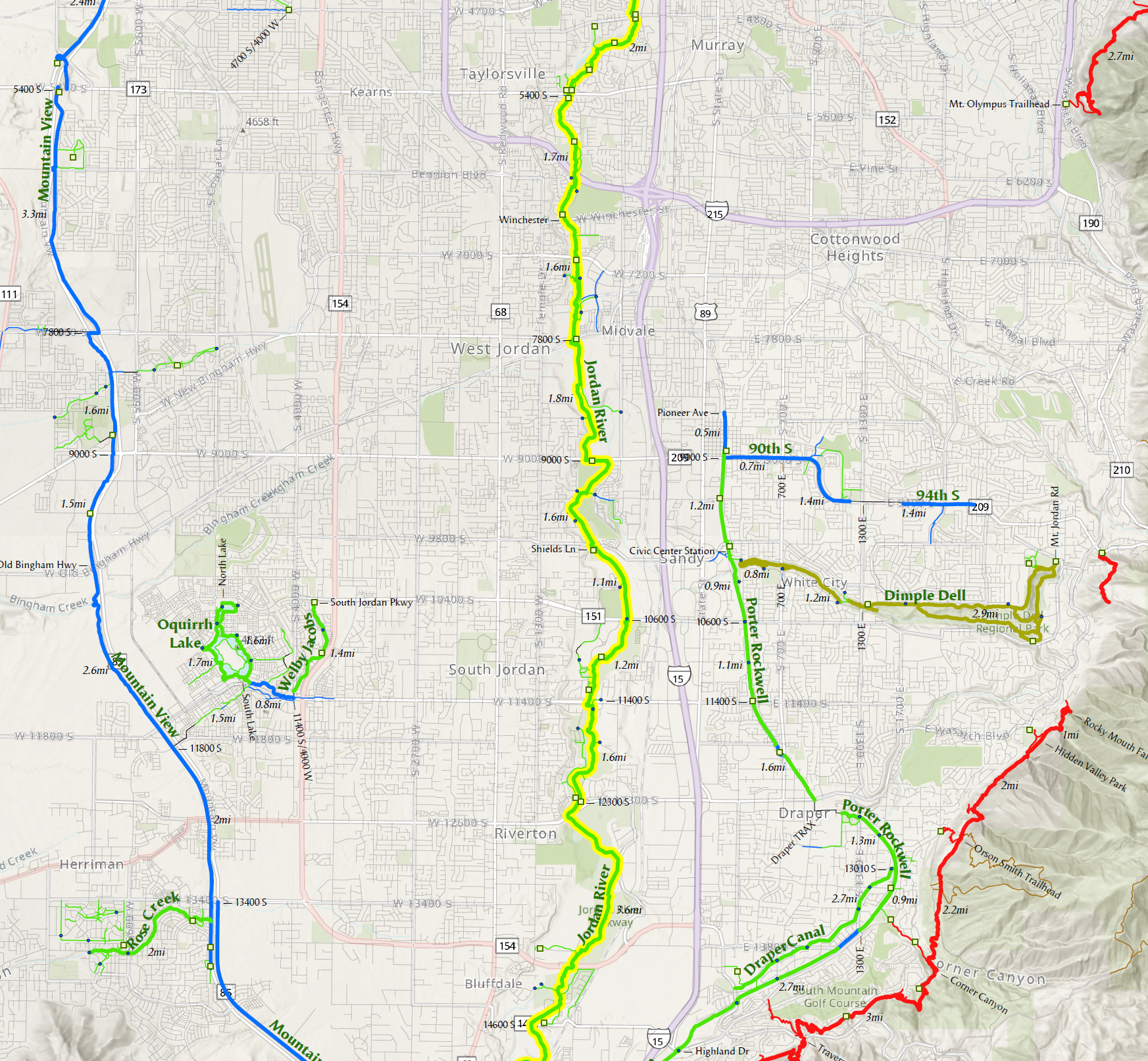
Kinesava Geographics has many years of experience producing a wide variety of maps of trails and outdoor recreation lands. Based in Utah, we primarily focus on the Intermountain West: "field work" (lots of hiking) produces better maps.
Our printed map products have included traditional handheld paper maps, atlas books, trailhead kiosk maps, and decorative wall maps.
Web
We have been creating web maps since 1994 (yes, that's right). We can produce custom interactive maps of your trails, or manage your trail network in popular trail apps such as Trailforks.
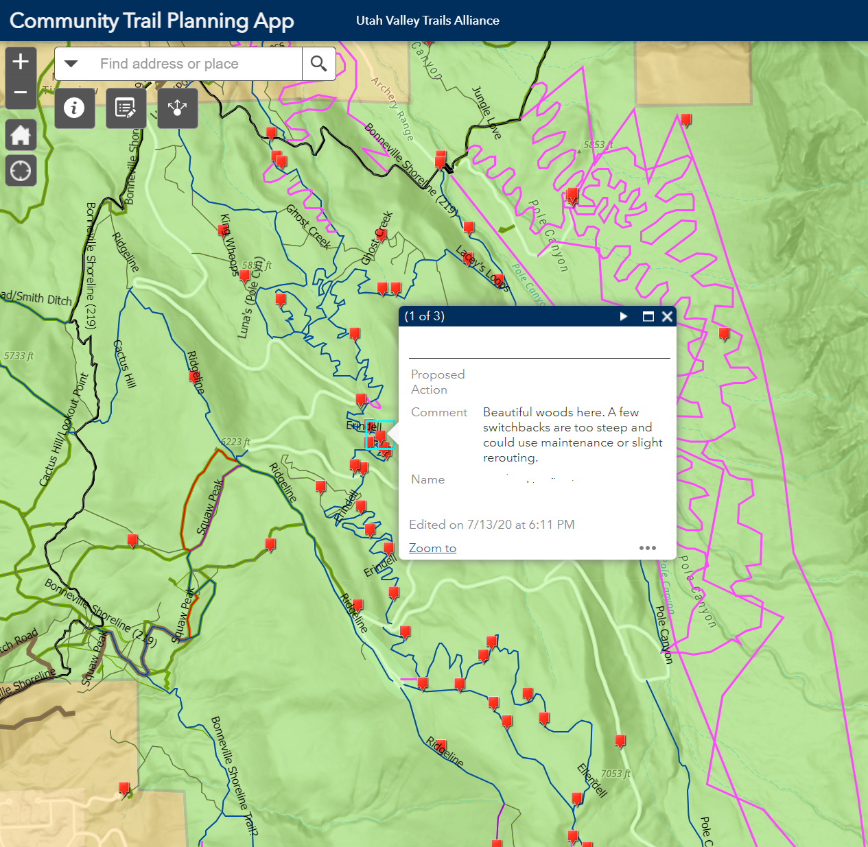
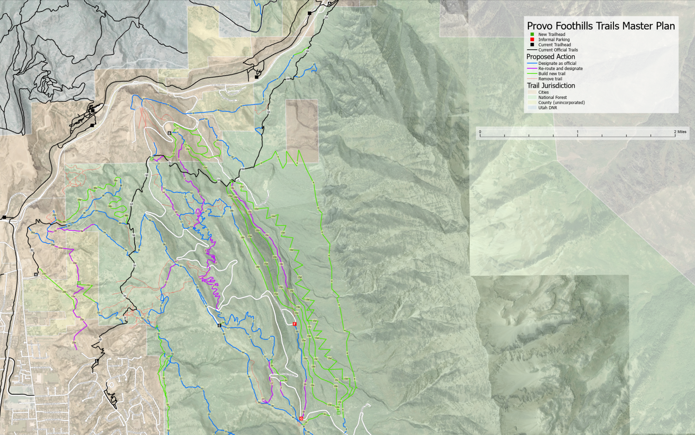
Plan
Our latest addition is trail planning. We have created trail master plans using GIS technology and collaborations between trail user communities, land owners, and government stakeholders.